Where has summer gone?
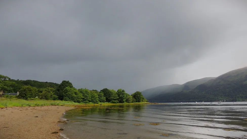
Cool winds brought frequent heavy showers to Scotland on Thursday
- Published
Remember our few days of summer heat last month? Already it seems like such a long time ago.
Cool, cloudy and occasionally wet weather has returned. It seems like summer has taken a holiday.
So, where has summer gone and is the weather going to improve any time soon?
Why has it cooled down?
It is all about the jet stream and importantly its position in relation to the UK.
For most of our autumn, winter and spring the jet stream was close to our shores, throwing endless areas of low pressure and their associated weather fronts and strong winds our way.
This culminated in some very wet weather for us. However, towards the end of June, it finally migrated northwards, allowing high pressure from the Azores to build and bring warm weather our way.
But the jet stream has been on the move again and for the start of July it is back across our latitude and with it so is the cooler, cloudier weather.
The shift in the jet stream from north of the UK to across the country brought a drop in temperatures
We can take a little comfort that were not alone in this week's cooling trend as Atlantic air swept across much of the continent.
This graphic below shows the temperature anomaly: how the temperature differs from the average conditions expected for a particular place at a given time of year. Blue indicates colder than average, and red hotter.
In the next few days some eastern parts of Europe may warm up but temperatures in Iberia are expected to fall again. Here in the UK the temperature doesn't change much and we are still "blue".
How did June shape up?
June in the UK on the whole was cooler than average, in contrast to last year's record breaking heat.
Indeed, surprisingly, for some areas May was actually warmer than June.
Cold Arctic winds dominated the first half of the month leaving temperatures two degrees Celsius below average.
The late June warmth helped to offset this a little and in parts of south-east England temperatures exceeded 28C for several days.
Perhaps most notable, however, was how dry June was - the first drier than average month for some time. Only Northern Scotland exceeded its average rainfall.
Is our weather going to improve this weekend?
The short answer is - not significantly.
It is a familiar pattern this weekend where low pressure will be more dominant. Lower pressure means air is more likely to rise. This leads to cloud formation and, in turn, the likelihood of rain.
On Saturday there will be showers or longer spells of rain. Drier and sunnier weather is more likely to develop in southern England, Wales later.
Sunday is looking drier in Scotland but heavy, and perhaps thundery, showers are forecast to drive eastwards over the rest of the UK.
It is also going to be disappointingly cool. Temperatures will range from 13 to 18 Celsius. That is still several degrees below the seasonal norm.
Details for next week keep changing. There is still rain in the forecast but it could turn a touch warmer.
How about Wimbledon?
Wimbledon without any rain interruptions is unusual and play could again be affected by the weather this weekend.
Saturday is looking like a blustery day with sunny spells and the risk of showers, especially early in the day.
Sunday, at the moment, is looking much wetter. Heavy showers are likely during the afternoon and evening and there is even a risk of thunder and lightning.
It used to be that there would only be play on the middle Sunday of Wimbledon, or People's Sunday as it was called, if there were lots of rain delays during the first week. But, in 2022, it officially became a regular day of play at the Championships.
The second week of Wimbledon could continue to be hit by rain delays with no signs of any prolonged dry and sunny weather.
Lightning forced the temporary suspension of Germany v Denmark on Saturday 29 June
And the Euros?
You may have noticed the torrential downpours that have affected play at the Euros earlier in the tournament.
Since then the weather has cooled down in Germany too. There is nothing too dramatic in the sky on Friday over Germany - Saturday could be different story, however.
The same weather system that is affecting the UK could push heavy rain and thunderstorms across Germany on Saturday. Dusseldorf, in the west of Germany, will be the first to see any storms and they could coincide with the England v Switzerland quarter-final.
It is worth keeping up to date with our latest forecasts for the UK and around the world online and via the BBC Weather app.
- Published28 May
- Published20 hours ago